As Libyans begin recovery, UNDP’s SURGE Data Hub uses publicly available data to assess needs
Satellite view: Understanding the impact of Storm Daniel
October 22, 2023

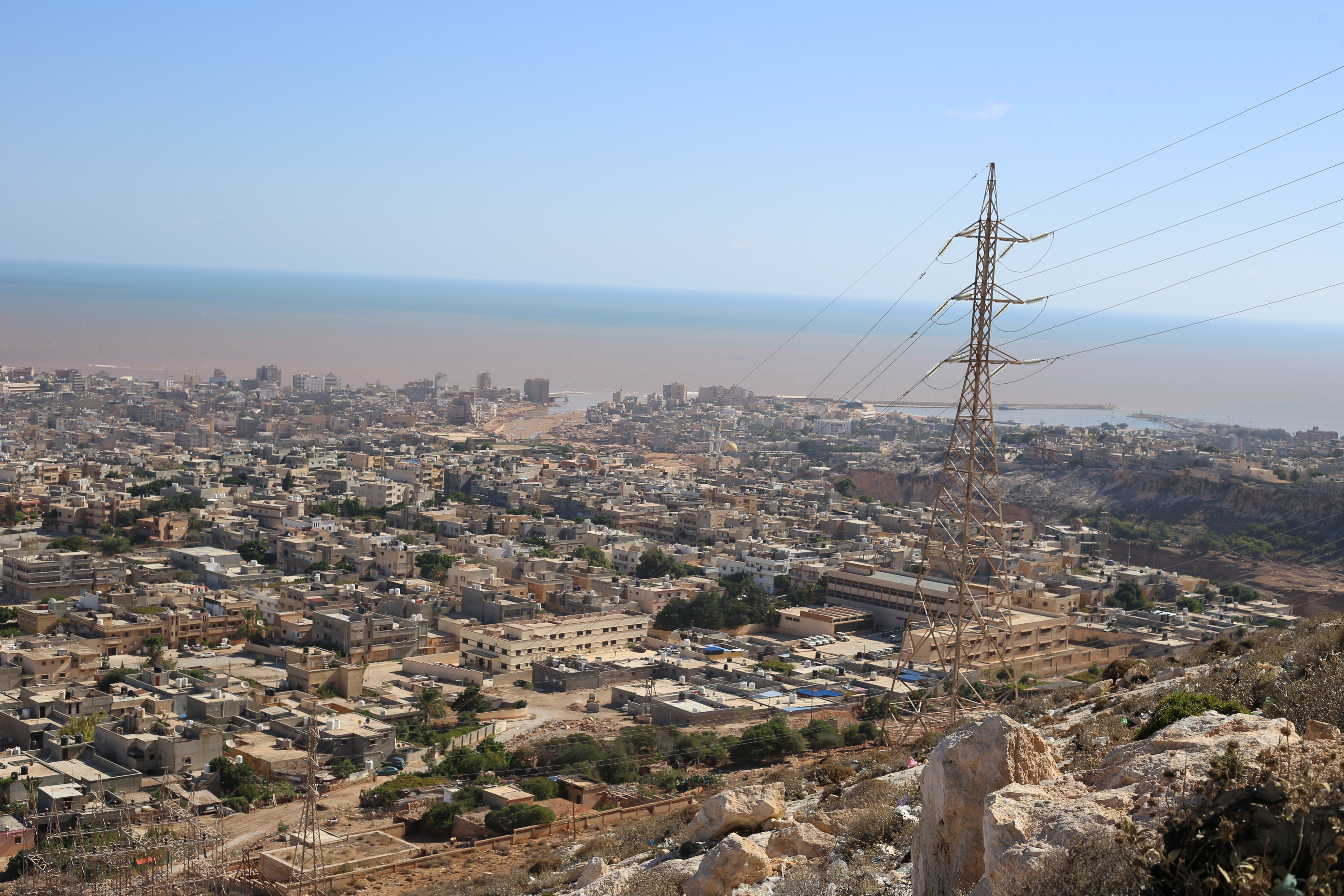
A view over Derna, Libya after Storm Daniel struck in early September 2023, causing widespread damage.
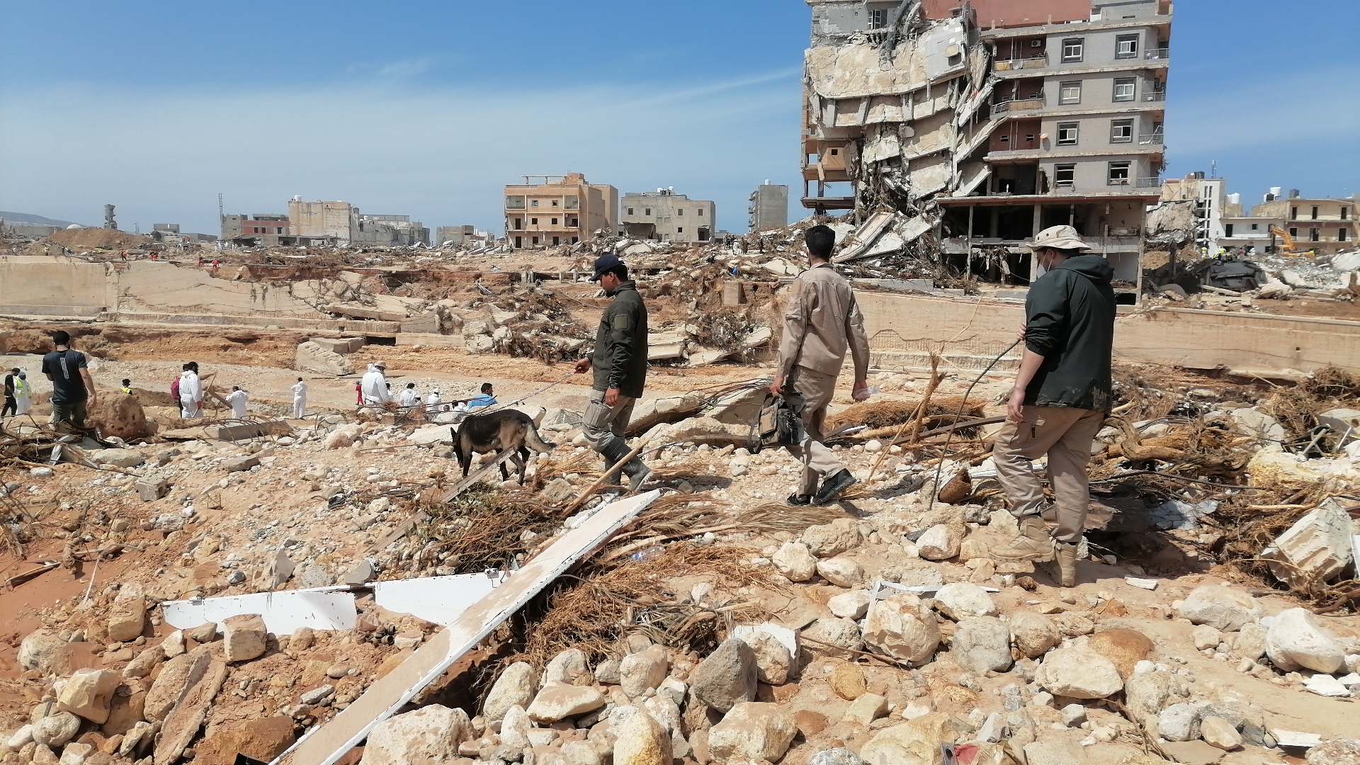
Storm Daniel struck the northeastern coast of Libya in early September, causing widespread damage. Major dams, including the Al-Bilad and Abu Mansour, collapsed, releasing vast quantities of water into an already inundated Derna city. The following days witnessed a rapidly rising toll, with more than 4,300 dead, over 8,500 still missing and 40,000 displaced, according to figures published on 17 October by the United Nations Office for the Coordination of Humanitarian Affairs. The calamity has impacted a quarter of a million people and poses severe humanitarian challenges. Roads are blocked, and people are in dire need of aid and resources.
Overcoming the lack of primary data
The nature of the disaster and other political and geographical sensitivities made gathering primary data extremely difficult. UNDP used satellite imagery and open-source data to provide initial estimates of damage and recovery needs.
Based in UNDP’s Crisis Bureau, the SURGE Data Hub specializes in this analysis that uses publicly available data and brings it together on a Geographic Information System (GIS) interface. The visualization tracks changes in the satellite imagery by United Nations Satellite Centre (UNOSAT) and the European Union’s (EU) Copernicus before and after an event to point out changes in patterns and impact. It is enhanced with layers of other datasets such as land use, infrastructure, settlements, buildings, and roads and electricity networks, to give a complete picture and identify the most pressing needs.
This analysis differs from others in terms of speed and scale, augmenting observed damages by triangulating data. It goes beyond the humanitarian aspect and presents the picture from the lens of recovery and development.
Breaking down the unprecedented impact
UNDP looked at seven of the most damaged areas to analyse the damage to vital infrastructure as well as debris generated in Derna, Benghazi, Al Marj, Al Bayda, Shahat, Susah, and Al Tamimi. Around 10,000 buildings are damaged or destroyed while more than 250 kilometres of roads can be classified as ‘possibly damaged’. The preliminary dashboard is continually enhanced with new information from field missions. The first estimation of debris exceeds 25 million tonnes. We expect the final number to be much higher.
In the already neglected coastal city of Derna, affected by years of conflict and instability, a quarter of the buildings seem damaged. An estimated 870 buildings have been reduced to ruins, with an additional 3,100 displaying considerable damage, accounting for about 8 million tonnes of debris. Most of these structures are family homes, but the impact of the floods extends beyond the residential areas.

Approximately 10,000 buildings are damaged or destroyed, with debris exceeding 25 million tonnes.
In Benghazi, an estimated 2,800 buildings show visible signs of damage while another 11,000 can be classified as possibly damaged. Initial reports from the field, however, show that the storm might not have caused significant damage in the main residential area.
In Al Bayda, close to 125 buildings seem destroyed. Another 130 have sustained damage, with about 404 thousand tonnes of estimated debris. Alarmingly, close to 9,000 buildings in the town are possibly damaged. This compounds vulnerability to further flooding.
Susah, another coastal town, also bears the weight of the crisis with almost 80 percent of all the buildings damaged or destroyed, accounting for almost 5 million tonnes of estimated debris. A vital bridge has suffered damage, blocking the flow of goods and essential services. The impact of flooding extends to structures related to mining and extraction, an industrial plant, and two sports and recreation structures.

Nearly 80 percent of all buildings are damaged or destroyed in the coastal town of Susah.
Each of the other locations – Al Marj, Shahat, and Al Tamimi – bear their own unique patterns of flood-related damage. However, they all converge on one vital point – the urgent need for comprehensive humanitarian, recovery and reconstruction efforts to address the widespread devastation.
The data are now being triangulated through on the ground assessments in consultation with government and local partners. The UNDP Surge Data Hub has initiated a key informants survey to validate the findings. At the request of the Government of Libya, the World Bank has initiated a Rapid Damage and Needs Assessment in collaboration with the European Union and the United Nations system, including UNDP.
Land use as a crucial piece of crisis response
Land use is a pivotal factor for a well-informed disaster response. In residential areas like Derna, immediate focus should be on housing and shelter. Conversely, in areas dominated by farmland, such as Al Marj, prioritizing agricultural infrastructure becomes essential. This is also crucial for reestablishing food production and livelihoods. Mixed-use areas like Benghazi need a multifaceted approach.
Understanding the economic and environmental impacts in different areas can help devise targeted recovery and ecological restoration plans.

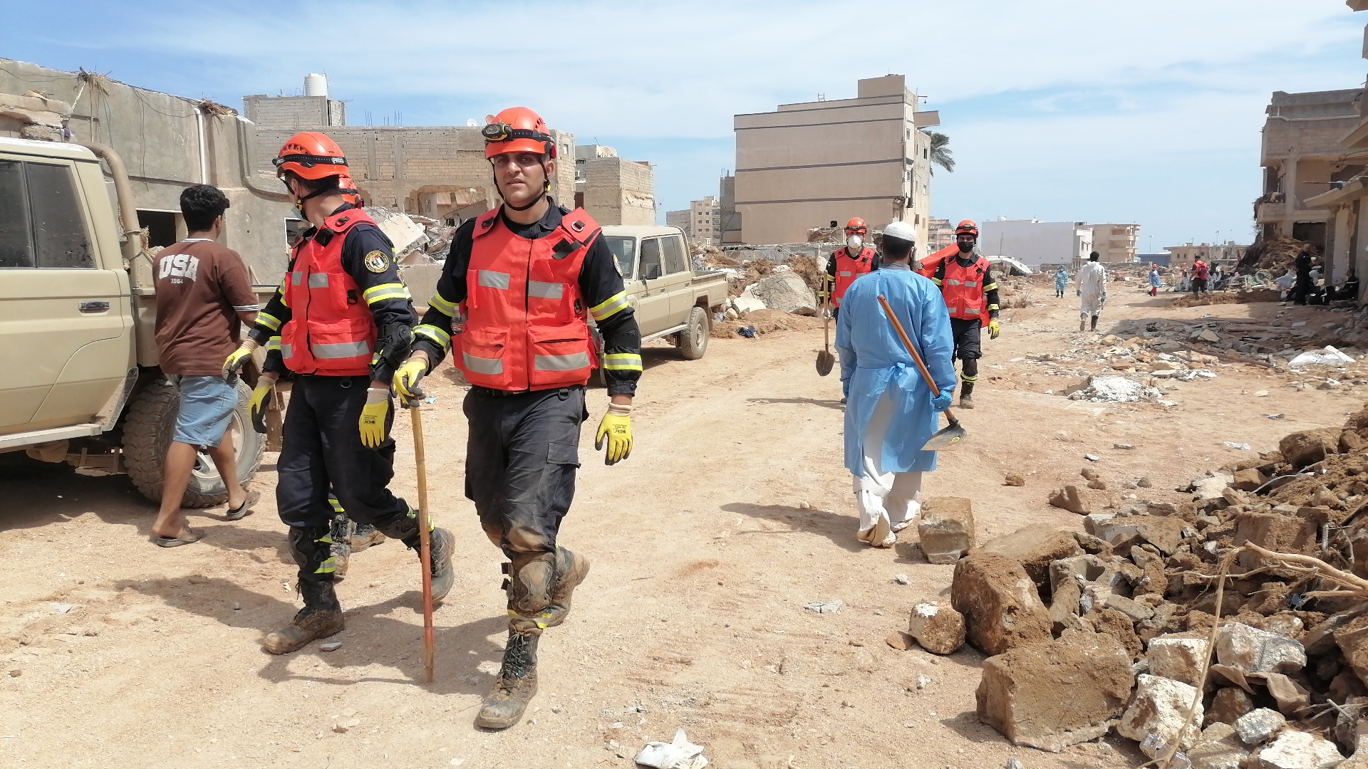
The SURGE Data Hub supports primary data collection through rapid, digital assessments in the aftermath of a disaster, as rescue and emergency responders work on the ground.
Taking the satellite view to crisis response
The SURGE Data Hub supports primary data collection through rapid, digital assessments in the aftermath of a disaster. In places where immediate access to the areas of crisis is not possible, the team uses innovative techniques from publicly available satellite imagery and data. In this case, we have also used Google's Open Buildings and the EU's Global Human Settlement Layer datasets to estimate debris. In the recent past, SURGE Data Hub has supported humanitarian and recovery responses in Syria, Ukraine, Afghanistan and Mozambique.

 Locations


